HD and XD Maps
Why Digital Maps are Necessary for the Autonomous World

The future of Autonomous Vehicles (AVs) relies on enormous amounts of data being collected and maintained in the form of digital maps. High-definition (HD) digital maps confirm that what the AV is “seeing” in its’ surroundings with sensors and cameras is grounded in reality.
With over 36 years of experience using the latest technology to aggregate roadway data, Mandli Communications can create detailed and accurate high-definition digital maps within a few weeks and for specific geographic regions.
The Mandli Solution
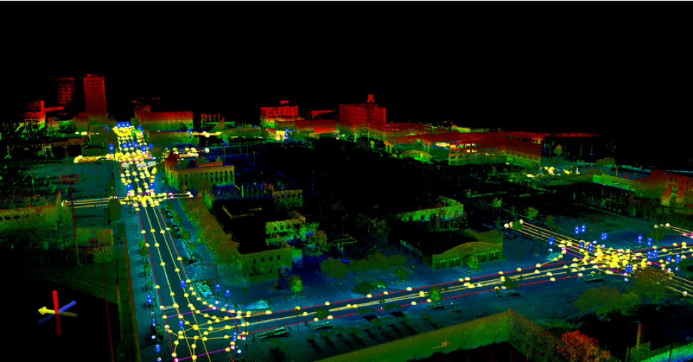
In order to create the most advanced dataset available, Mandli uses our mobile mapping solution to collect the necessary roadway assets and features. Mandli’s mobile mapping system enables us to capture an enormous amount of detail of the environment at posted highway speeds, with no quality loss. We can identify a variety of assets including signs, curbs, guardrails, train tracks and crossings, sidewalks, etc.
With our innovative mobile mapping solution, Mandli-built HD maps offer the following advantages:
- HD maps of a particular location can be created and delivered in 6-8 weeks of the data being collected (weather dependent).
- We provide Highly Automated Driving (HAD) or Autoware-compliant maps for testing AVs in any area, urban or rural.
HD Autoware Maps
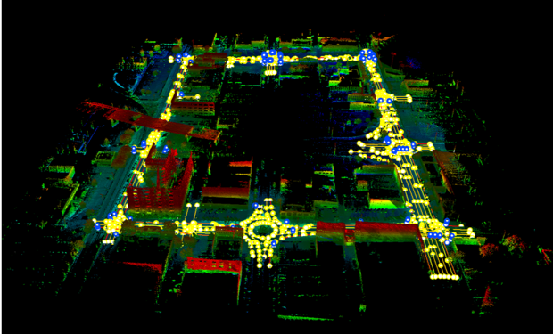
As a partner of AutonomouStuff, Mandli is able to create Autoware-compliant high-definition maps. Customers can request a map of a specific area and Mandli will create and deliver the Autoware-compliant map within a few weeks.
Standard Map Elements included in an Autoware Map include:
- Road Boundaries and Curbs
- Stop Bars (ex: stop sign, yield sign, or traffic signal)
- Regulatory Signs (ex: stop sign, yield sign, speed limit sign)
- Traffic Signals
- Pedestrian Crossing

HAD Maps
HAD maps operate as the foundational layout of the real-world necessary for AVs as they learn to navigate on roads. An initial implementation of a base map for autonomous vehicles may simply contain static information about the lanes of travel for a given roadway.
Mandli provides the following information in the HAD map
- Physical features, such as where it is and where it is not possible for an AV to drive.
- Operational features, such as speed limits.
For more information on how Mandli can customize a map to fit your needs, please reach out to one of our representatives.
