Visualize Your Data
Advanced Asset Management and Visualization
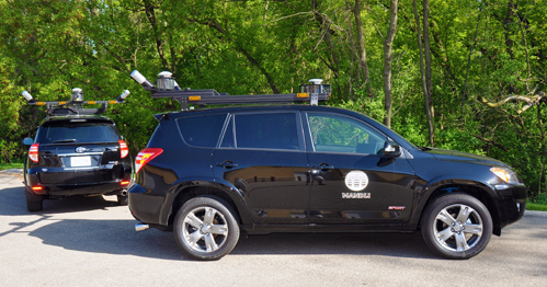
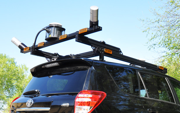
Mandli Communications offers a unique combination of experience and technology that enables us to provide superior products and services.
With LiDAR data, Mandli can accurately identify more than 60 common road and highway assets and their attributes. The collected data provides an inventory of roadway assets, impacting safety, maintenance, design, legal, asset management, pavement, HPMS, coordinators, intelligent transportation systems, and structures groups.
With LiDAR, measurements and feature extraction performed from the point cloud data are not affected by pixel size, shadows, or poor ambient lighting. Point cloud data provides an accurate representation of the roadway corridor. Facilitating repeatable measurements and precise extraction of geometry for advanced GIS workflows.
Benefits of Mandli LiDAR Collection
Since LiDAR data adds visualization to other datasets, Mandli provides our customers with the tools for an asset management solution. High-quality point cloud data can be utilized for a wide variety of applications such as:
- Locating additional assets that can be seen from the vehicle and identified in the LiDAR point cloud.
- Providing condition data for critical to safety asset management activities.
- Integrate asset and Model Inventory of Roadway Elements (MIRE) data to help the different divisions in an agency make safety decisions.
- The dataset can be re-examined by agency staff to verify assets or to identify additional assets at a later date.
- Performing sign, striping, and pavement marking reflectivity condition analysis by analyzing the intensity of light returning to the cameras and lidar sensors.
- Delivering condition data and identifying ADA ramps on sidewalks.
