Pavement Profiling
Customizable Pavement Data Collection

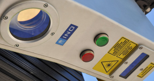
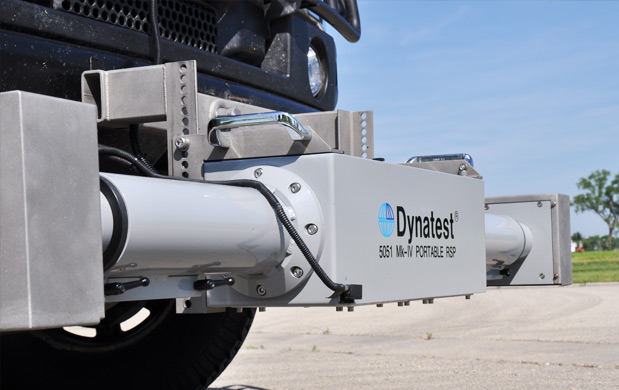
The pavement profiling system collects real-time continuous highway speed measurements of longitudinal profile elevations, International Roughness Index (IRI), and faulting. The system allows the operator to view real-time profile data in both wheel paths in a graphical display, allowing for verification of data collection.
- IRI data can be reported for both wheel paths using both quarter- and half-car simulations
- Measurements are referenced to linear distance and GNSS information
- 0.05mm vertical displacement measuring resolution


As a systems integrator, Mandli is always looking for the best technology available. This means that we are always offering our customers the most accurate system currently available, which is the unit with the best Texas Transportation Institute (TTI) certification results, and Class I precision and bias specifications. Our technology also conforms to AASHTO R56-10, AASHTO R43-07, and ASTM E950-98 specifications. The profiling system is integrated into our system in a manner that allows for real-time monitoring of data accuracy during collection. All of the data is linear and geo-referenced: within Mandli’s software the user can jump to any points of interest, such as areas with high IRI values, and see the associated right-of-way images and GIS datasets.
