Visualize Your Data
Mandli's All-in-One Solution

For transportation agency staff, knowing what data is available and getting access to it can be a challenge. With access to a single usable dataset, different divisions have access to the information they need, without having to waste resources re-collecting the roadway.
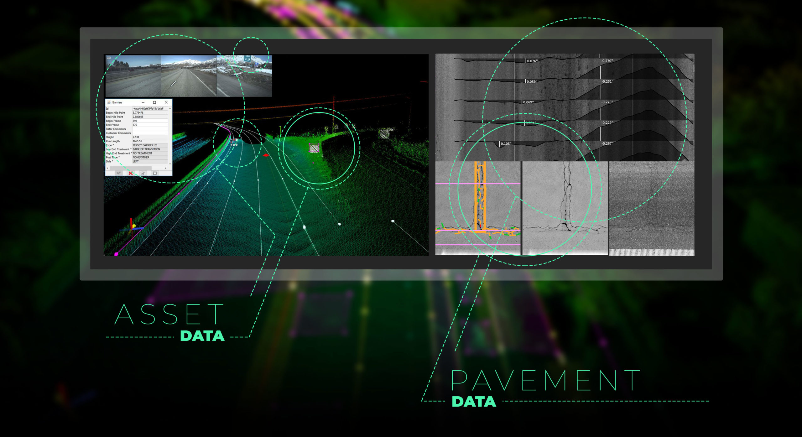
Mandli Communications provides an all-in-one collection solution that integrates data so you can get all roadway data at once. With a synchronized data set, Mandli is able to deliver all of the data our customers may need, and then some.
Mandli's Solution
Pavement Data
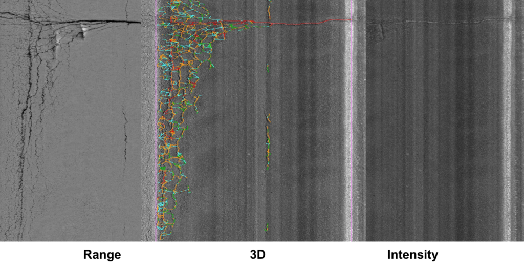
Mandli’s pavement solution provides high-resolution 3D profiles and 2D images that are used to develop details of the road surface. The detailed pavement scans yield an excellent view of pavement condition, providing information that helps make pavement upgrade projects easier to prioritize and more cost-effective.
Pavement data we provide:
- Automatic Crack Detection
- Distress Data – Block, Alligator, Transverse
- Rutting
- Roughness
- Faulting
- Shoving
- Bleeding
- Water Ponding
- Grade and cross slope
- Macro texture,
- Raveling
- Pavement Condition Index (PCI) ratings – with collection of the entire lane width, Mandli has the ability to calculate a PCI value for all sample units within a section which is invaluable for project level analysis.
- Produce Pavement Management System Inputs – Platforms we’ve integrated our data into include Esri ArcGIS, Agile, DTS, Cityworks, and many more.
- An always growing library of automated data processing algorithms for accurate and repeatable results

Asset Data
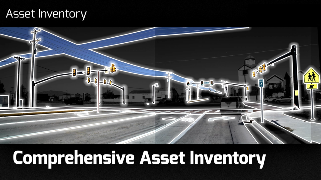
Nearly anything that can be visually seen from the vehicle can be accurately located and identified within the LiDAR point cloud. Mandli’s Mobile Mapping system offers a full-coverage collection that ensures collected LiDAR data can be mined for further assets that are identified at a later date. Since the LiDAR data adds visualization to other datasets, it can be utilized for a wide variety of applications.
Assets that can be identified in the LiDAR data include, but are not limited to, the following:
- Pavement Assets
- Lane count & width
- Medians
- Shoulders
- Pavement striping
- Curb & gutter
- Rumble strips
- Surface area & type
- Pavement messages
- Raised pavement markers
- Intersections
- Safety Assets
- Signal Poles
- Sign Faces & Assemblies
- Crosswalks
- ADA Ramps
- Attenuators
- Delineators
- Guardrails
- Driveways
- Concrete Barriers
Other assets we can provide include streetlights, utility poles and lines, bus stops, trees, ditches, tunnels, sidewalks, mowable acres, and culverts.

Please reach out to one of our representatives for more information on how Mandli Communications can create a customized solution to fit your needs.
