Comprehensive, Cost-Effective Asset Collection Solution
For many Cities and Counties, successful roadway planning and maintenance requires accurate and reliable data. However, getting access to the necessary data can be difficult due to the collection logistics and the costs involved.
With over 35 years of experience in developing solutions for asset data collection and delivery, Mandli Communications understands the challenges faced by local governments. This is why Mandli continues to develop and offer solutions to Cities and Counties. So they are able to easily and cost-effectively access and use their roadway data.
This is a proven solution that we have successfully implemented in two recent examples.

Eau Claire County, WI
Eau Claire County manages assets for approximately 420 miles of county highway. Their prior method for data collection was sending interns out into the field to collect information via windshield survey and geolocators. This method provided limited functionality and produced data that could not be reprocessed or checked for quality and accuracy.
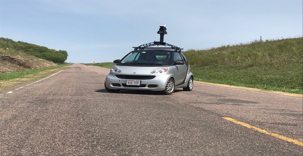
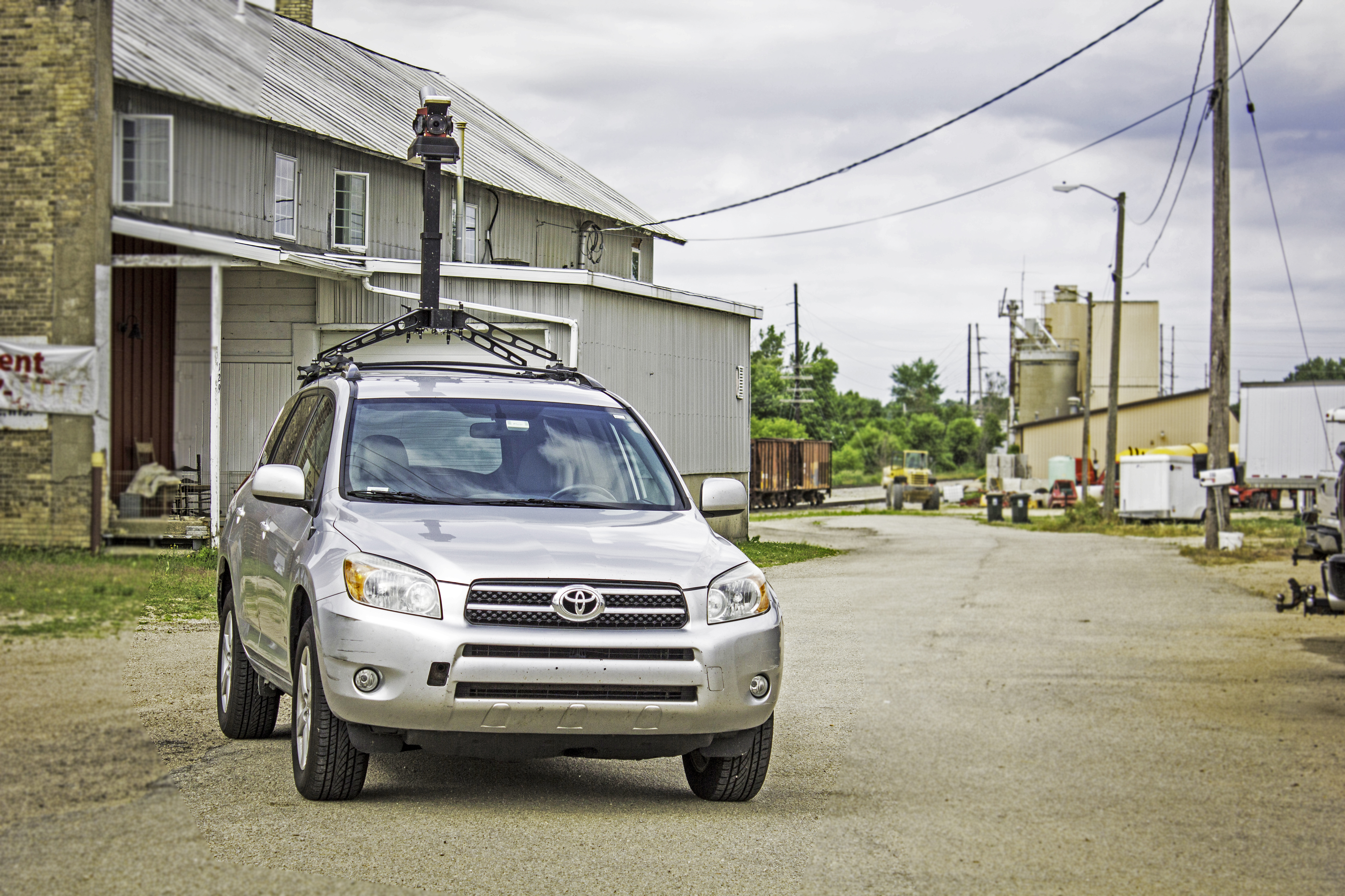
The Mandli solution to this problem was providing Eau Claire County with county-wide coverage, about 420 driving miles, and collecting 10 unique assets. To ensure we provided a cost-effective solution, we used a portable mobile mapping technology solution, Maverick <link>, that can collect 3D imaging and LiDAR.
All data was collected at once and the whole county was collected in less than a week. This provided the county a full baseline instead of giving them small pieces of data over several years.
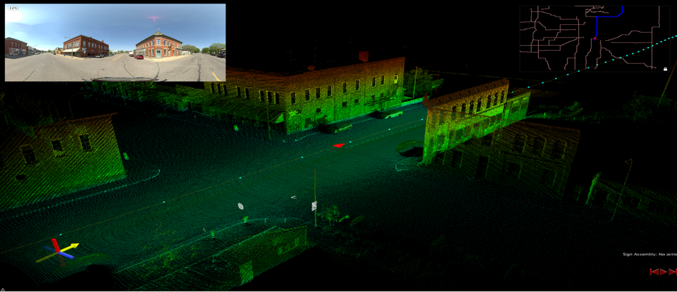
Mandli delivered pictures along with a full LiDAR point cloud to Eau Claire County. This gave the County engineers the ability to verify the data accuracy and actually go into the data and drive the routes from their computer anytime they wanted, without having to leave the office. The data is now verified as accurate and repeatable, and personnel across multiple departments have a strong confidence in using the data.

City of Altoona, Wisconsin
The cost-effectiveness and flexibility provided by the Maverick mobile mapping system also helped the City of Altoona get access to a broad dataset of their roads and assets.
The Maverick system offers several advantages for Cities and Counties:
- Ability to get high-resolution images, including the capability to create a 360°view, of the roads and infrastructure.
- High-definition LiDAR – that allows a user to extract accurate measurements of assets.
- Ability to geo-locate all assets and infrastructure so they can be quickly identified by location.
Mandli collected asset data for 30 miles in the city of Altoona. The mobile mapping system was able to provide the city a customizable solution to fit in their budget and give them the data they need. In a single vehicle pass, the Maverick collected all of the data in under a day.
Mandli worked with the city to develop a data dictionary that met their needs while still remaining cost-effective solution on a city budget. From the collected data. Mandli was able to extract precise measurements for assets such as signs, guardrails, bridge clearance, curbs, gutters, pavement surface areas, and more. This gave the city a robust and multi-functional dataset that could be utilized for a wide-range of applications within their department.
This complete dataset was collected and stored in a non-proprietary format so that if the need arose in the future the City would be able to utilize their current tools, such as those from Agile Assets, Esri, and Oracle to distribute that data to internal customers.

