2D Imaging
High-Resolution Visual Verification
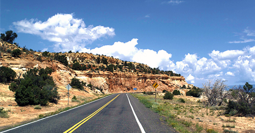
Mandli’s 2D imaging system is capable of recording high-resolution images in a variety of weather, speed, and lighting conditions. The operator can monitor all images being collected by the system in real-time. Each camera runs at a resolution up to 3296 x 2472 pixels and captures at a selectable rate of 100 to 500 frames per mile, with vehicle speeds ranging up to 65 mph during collection.
- Real-time monitoring of image collection guarantees quality of data
- Cameras automatically adjust to different lighting conditions
- All images are referenced to linear distance and GNSS information
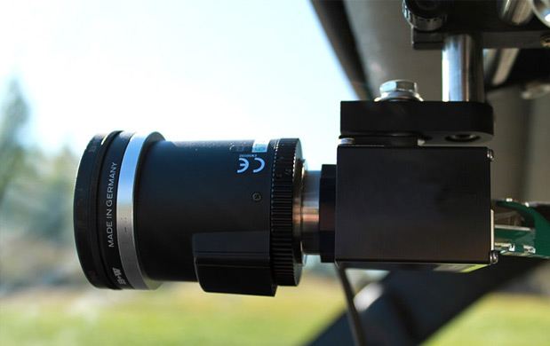
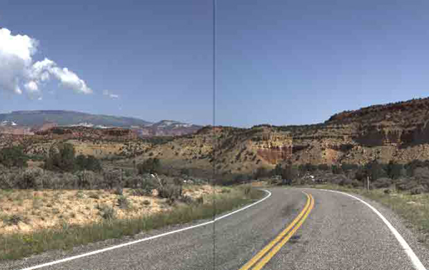
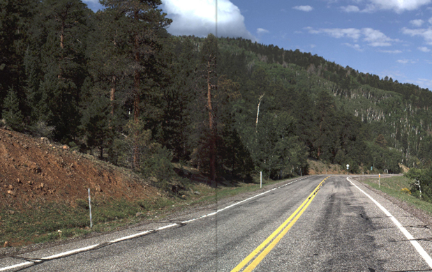
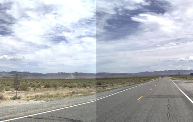
Mandli uses some of the highest resolution cameras in the industry. This means there is greater detail when zooming in on photos, reading legends, and taking measurements. When zooming in on lower resolution photos the pixels become blocky and the detail distorted. More pixels on target assets provide better accuracy when taking measurements of images. All of Mandli’s images are compressed in JPEG format on the fly, and can be easily imported into other applications for reporting and presentation purposes. The images are also geo-coded and linear referenced, so they can be located within Mandli’s software by clicking on a map or shape file, and can be tied to existing geocoded and linear-referenced data.
