Lanes and Intersections
Accessible and Usable Data

For many cities, counties, and states, successful roadway planning and maintenance requires an accurate and complete asset inventory. Lane and intersection asset information is vital for pavement, safety, design, maintenance, highway, public works, and structures groups. However, getting access to the necessary data can be difficult due to the collection logistics and the costs involved.
With over 36 years of experience in collecting and delivering asset data to DOTs and local government agencies, Mandli Communications understands what information different agencies need and how to deliver it in a format that is accessible and usable.
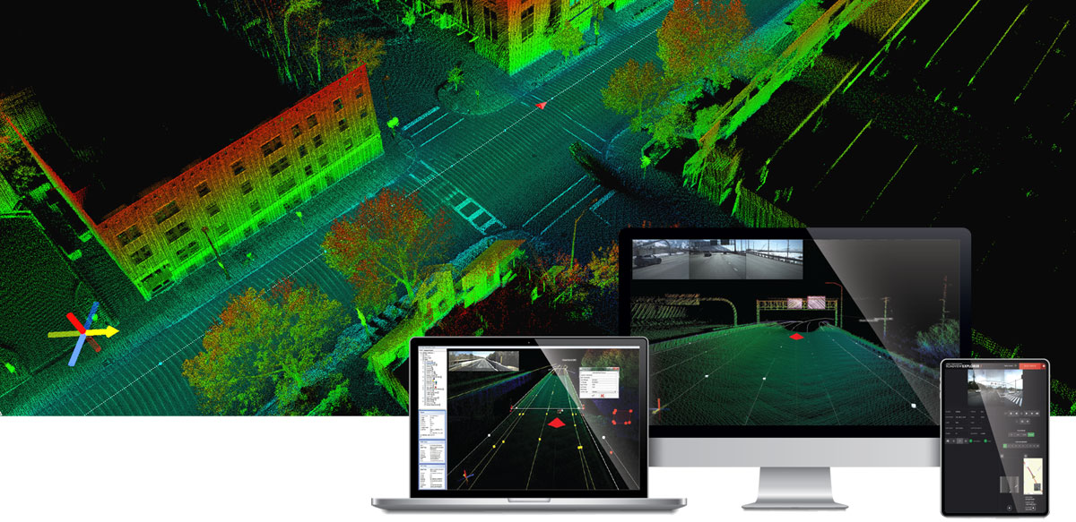
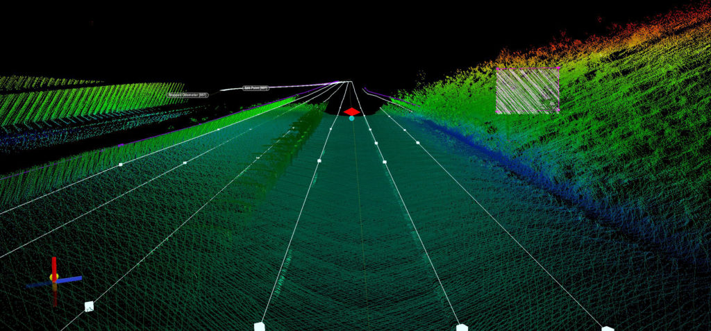
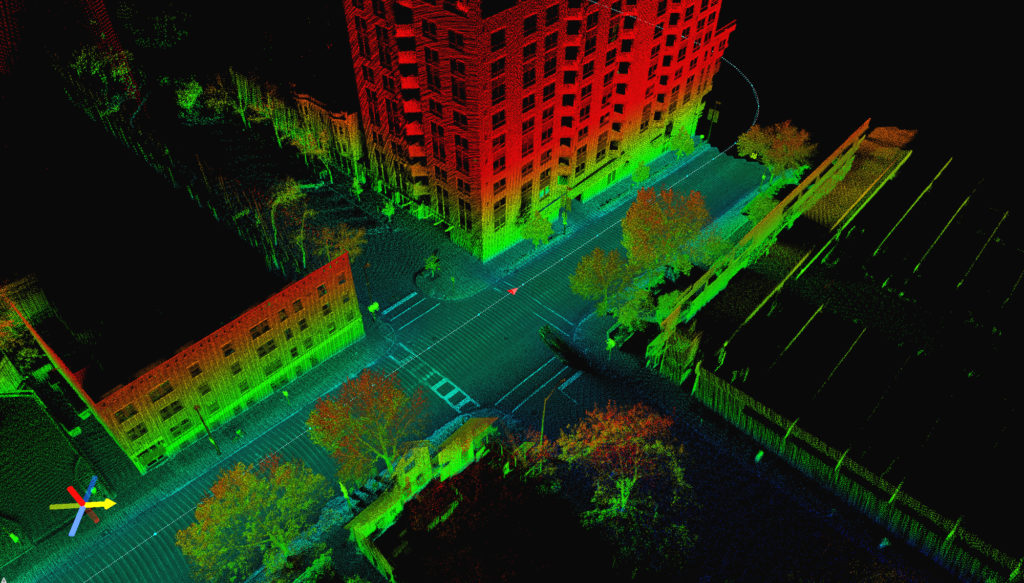
Mandli’s Mobile Mapping System, which uses mobile LiDAR and right-of-way imagery, collects lane and intersection data at posted speeds to provide network-wide coverage of assets. LiDAR provides a level of detail that is more comprehensive than what is obtained through photos. With a LiDAR dataset, assets are fully visible and accurately represented for you to analyze and inventory, at any time from your desktop.
Mandli can customize what elements we report for each asset. This ensures you are getting the information you need to efficiently and effectively manage your roadway assets.
Customizable Elements:

Lanes
Lane area, width, and count is vital for safety and maintenance groups when they are making pavement preservation and repair decisions.
Lane area gives Maintenance Groups the necessary data to effectively plan for future pavement projects.
Mandli gives our clients data for the material and area of the lane. Materials usually include asphalt and concrete and the area is measured in square feet by lane material.
Both of these are important attributes for Maintenance groups to use with their pavement management systems and help estimate preservation and repair costs. The information is often used in preliminary design projects to evaluate potential lane configurations.
Lane width and count is especially important for Safety and Maintenance groups to analyze traffic congestion and accident analysis.
Mandli reports lane width (measured in feet) and lane count (number of lanes of each type).
Additionally, we provide our clients the knowledge of different lane types. Types can include: Acceleration lane, Auxiliary lane, Bike lane, Deceleration lane, Gravel/soil island, HOV, Left turn, Other, Painted island, Passing, Raised island, Right turn, Thru lane, and Two-way left.
This information also enables Maintenance groups to make more informed preservation and repair decisions.

Intersections
Mandli can report where your intersections are as well as other attributes that are necessary for Safety and Maintenance groups.
We can locate whether the intersection is signalized, if there are controls such as stop or yield signs, any other type of control, or no control. Additionally, Mandli can identify if both of the intersection streets are State-Maintained routes. This is especially important for decisions regarding preservation and repairs.
Additional linear assets Mandli can inventory include:
- Shoulders
- Medians
- Rumble Strips
- Paint Stripes
- Curb and Gutter
- Pavement Messages
With more than three decades of experience, Mandli provides customizable solutions for each customer to ensure the most cost-effective and efficient data collection solution.
For more information, please reach out to one of our representatives.
