Integrated Data Collection

| Location |
 Utah
Utah
|
|---|---|
| Client/End User | Utah DOT |
| Amount of Data | Over 14,000 Lane Miles Collected Per Cycle |
| Application | Multi-departmental access & applications |
| Products | GNSS, LCMS, LiDAR, Mark IV, Photolog, Workstation Software |
Many State DOTs are currently facing similar problems, including the loss of staff and valuable experience, and working within a smaller budget. To make matters worse, workloads have remained constant throughout these changes, and in some cases have even increased with the introduction of new rules and regulations. To meet these new challenges, the Utah DOT decided they needed to work smarter in order to increase productivity in the face of shrinking resources.
UDOT began by looking internally, specifically at their data collection projects, and how they were planned. They started with their Pavement division, which was coming out with an RFP for statewide data collection, and decided to research what additional datasets could be collected during the project. In August, 2011, vendors were invited to demonstrate their latest collection technology onsite for UDOT, and representatives from multiple department attended the demos to learn what was available in the industry.
Using all of the information from the vendor demonstrations, UDOT created a committee, gathering personnel from eight departments, including Planning, Maintenance, IT, GIS, and Pavement, among others. Together, this committee wrote an RFP that focused on collecting a comprehensive dataset that could be effectively utilized across all eight departments. Included in the bidding process was the requirement for each vendor to collect three separate ten mile test routes during November, 2011.
Once the test routes were collected, shortlisted vendors had one day in December, 2011, to install, demo, and train UDOT users on the data viewing and processing software, on location. This was an innovative approach to the bidding process, since previously no State-issued RFP had multiple departments working together, requiring the vendor to show newly collected data within their own software while at the same time training DOT employees, all within a single day. The result was that the usability of the software and the capabilities and efficiency of each vendor were fully on display for the UDOT to evaluate in person. In January, 2012, from the three shortlisted vendors, UDOT chose to award the statewide, multi-department data collection contract to Mandli Communications.
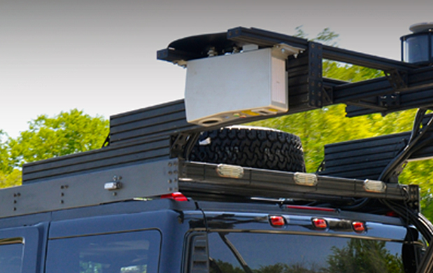
Mandli began collecting data utilizing a platform that included LiDAR, high-resolution imaging, GNSS technology, and pavement measurement systems. Once UDOT began receiving and evaluating the delivered data, each department not only wanted more data collected, they wanted to be able to use the data within their current software toolsets. In order to meet the software needs, UDOT established a second committee, made up of representatives from Esri, Oracle, Deighton, Agile, and Bentley, as well as UDOT and Mandli. The goal was to fully integrate Mandli’s data into each software developer’s applications that were being used at UDOT, such as Bentley’s design software, Esri’s GIS software, Oracle’s spatial database, and Deighton’s pavement management software. Mandli sent a hard drive to each developer that contained a sample dataset, as well as Mandli’s internally developed software which was used to access the data.
Currently, the software developers are working on exporting Mandli’s data into formats that will work within their own applications. The meetings between the data integration committee partners are continuous, and results so far have been very promising. Mandli and UDOT are working towards total integration between all of the collected datasets and the transportation management software. For example, UDOT would like to view traffic accident data within their Esri software, find a point of interest, and bring up Mandli’s imaging and LiDAR data to examine the safety features of the area, such as the condition of the pavement, the presence of guardrails and traffic lights, and the visibility of signage. Together, Mandli and UDOT are building a multifunctional dataset that can be used across the Department to improve the quality and safety of Utah roadways.
Download the PDF