Utility Asset Management

| Location |
 Midwestern City
|
|---|---|
| Client/End User | Utility Companies and Contactors |
| Amount of Data | 60 Miles |
| Application | Asset Management & Smart Grid Implementation |
| Products | LCMS, LiDAR |
Mandli Communications, a leading integrator of GIS technology in the transportation industry, recently partnered with a contractor in the utility industry on an innovative approach to the smart grid implementation process. The utility contractor is a leader in delivering technology to empower the modernization of the power grid and delivers the networking platform, software, and services that create smarter energy networks.
In preparation for each project, the utility contractor surveys utility poles and their transformer units to identify access points in a given area where the smart grid mesh would be implemented. Each access point serves as a local receiver of smart meter data transmitted over existing cellular networks. There are roughly 4,000 smart meters for every access point. The information is then collected through a network of relay transmitters.
The contractors must complete a site survey of the area, which includes the following steps: First, identify the best utility asset on which to mount the smart grid receiver. This asset can be a utility pole, street lamp, or similar asset. There must be a local power source, such as a transformer, and secondary power line. Second, verify that the cellular strength in each access point location is optimal. Typically, a worker in the field completes these steps manually, however through this project the contractor was able to identify possible improvements in regards to efficiency, accuracy, and safety in the site survey process.
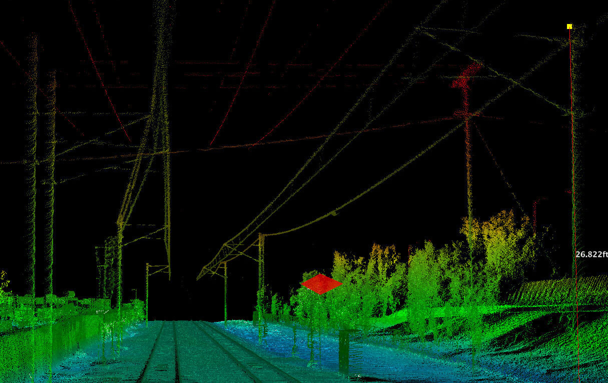
Mandli Communications used an integrated approach. In order to capture the data required to identify the transformers at each access point, a high-resolution 360º stereo camera was used in conjunction with Velodyne LiDAR sensors. The systems were mounted to a Toyota RAV4, and the vehicle was then driven down the alleys where the utility poles and transformers were located. All access points defined by contractor were profiled within eight hours.
The second challenge was matching the access point profiles with existing cellular signal strength. A modem that serves as a cellular strength “sniffer” was used for this purpose. Within two days of receiving the modem, a Mandli engineer was able to write an interface application for the modem that worked continuously over eight hours of collection to track signal strength.
All three data sets were then layered to create a map of signal strength and access points. The data was imported to both Mandli Workstation software and ArcMap from Esri for viewing. The contractor will be able to identify the best smart meter access points through these software applications and also be able to remotely verify access point choices when completed by the existing manual process.
By improving the site survey portion of smart grid implementation, Mandli Communications has enabled utilities and contractors to more efficiently implement smart meters and streamlined the work-flow process.
Download the PDF