













Case Studies
Assets
Pavement
To LabsTo GarageHome
CareersWebsiteView Our Keynotes!Questions? Join us on Zoom!Visualization


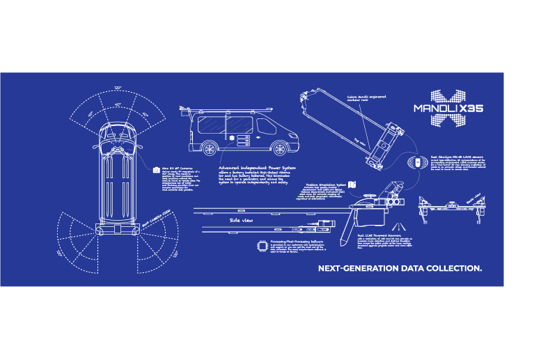
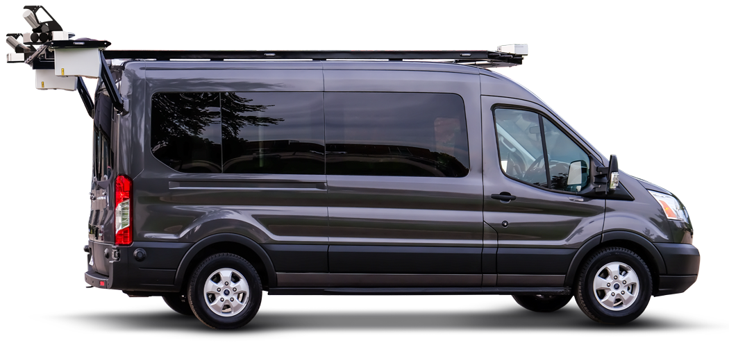
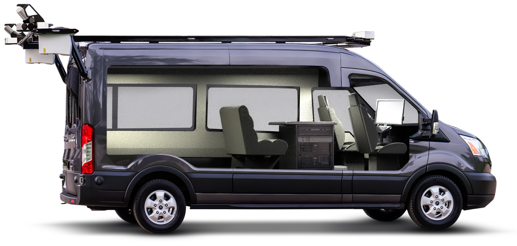
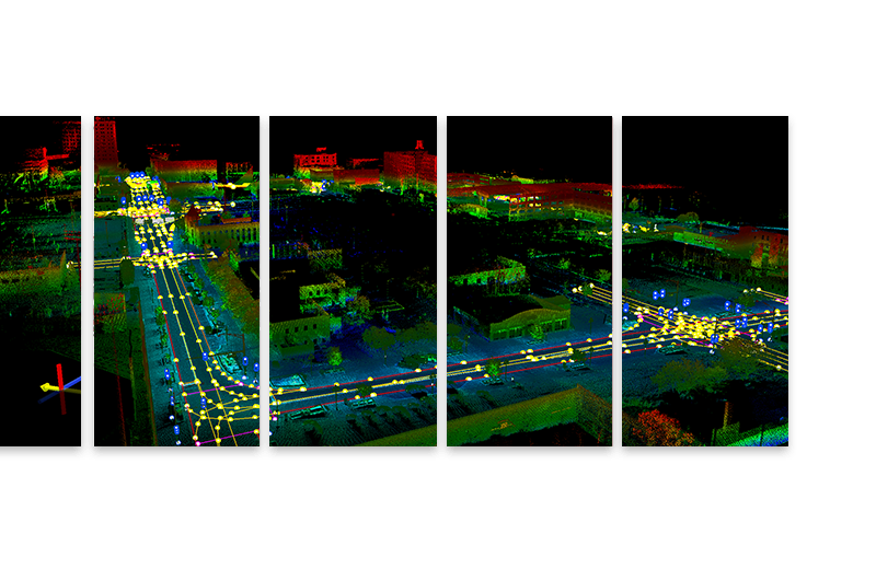
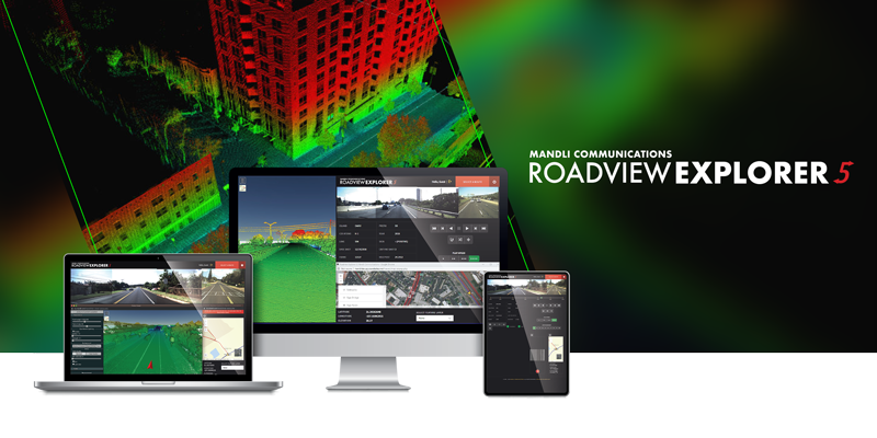
Dual Velodyne LiDAR sensors
collect high-definition, 3D representations of the surrounding environment. LiDAR coverage makes for a “real-world” 3D view allowing inspection of assets in an accurate virtual environment without the need to travel to remote sites.
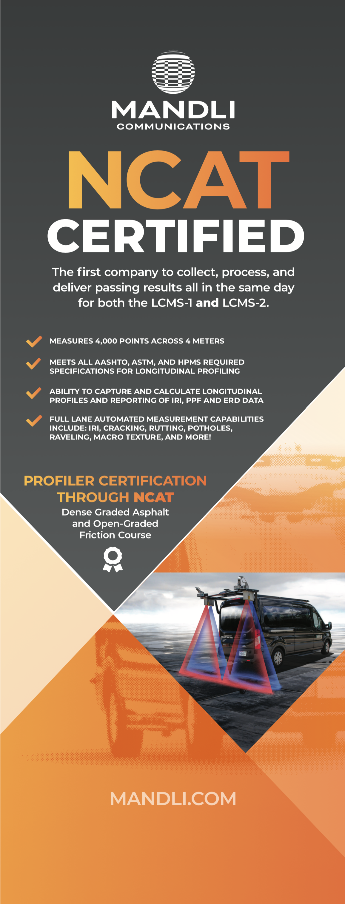
Dual LCMS Pavement Scanners,
with a resolution of .025 mm/.05 mm, provide automated crack detection and distress classification across the entire width of the lane, making pavement upgrade projects easier and more effective.
Nine HD Directional Cameras
deliver a full 360° image. This allows inspection of road conditions and asset locations without the need to travel to remote sites. The simultaneous use of LiDAR and Photolog provided from our cameras guarantees the most accurate data possible.
Position Orientation System
includes high quality Inertial Measurement Unit (IMU) and Optical Distance Measurement Instrument (DMI) which allow for accurate mapping of assets and their geographic coordinates regardless of obstructions.
Friday | 22nd
Thursday | 21st
Monday | 25th
Tuesday | 26th
Wed | 27th & Fri | 29th
Event is passed
Keynotes at 12pm & 2pm EST
Thursday | 21st
Keynotes at 12pm & 2pm EST
Friday | 22nd
Event is passed
Keynotes at 12pm & 2pm EST
Monday | 25th
Event is passed


